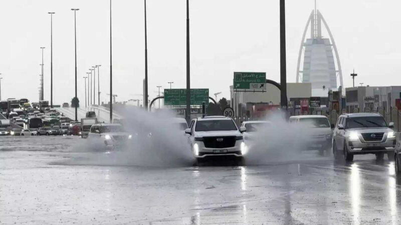
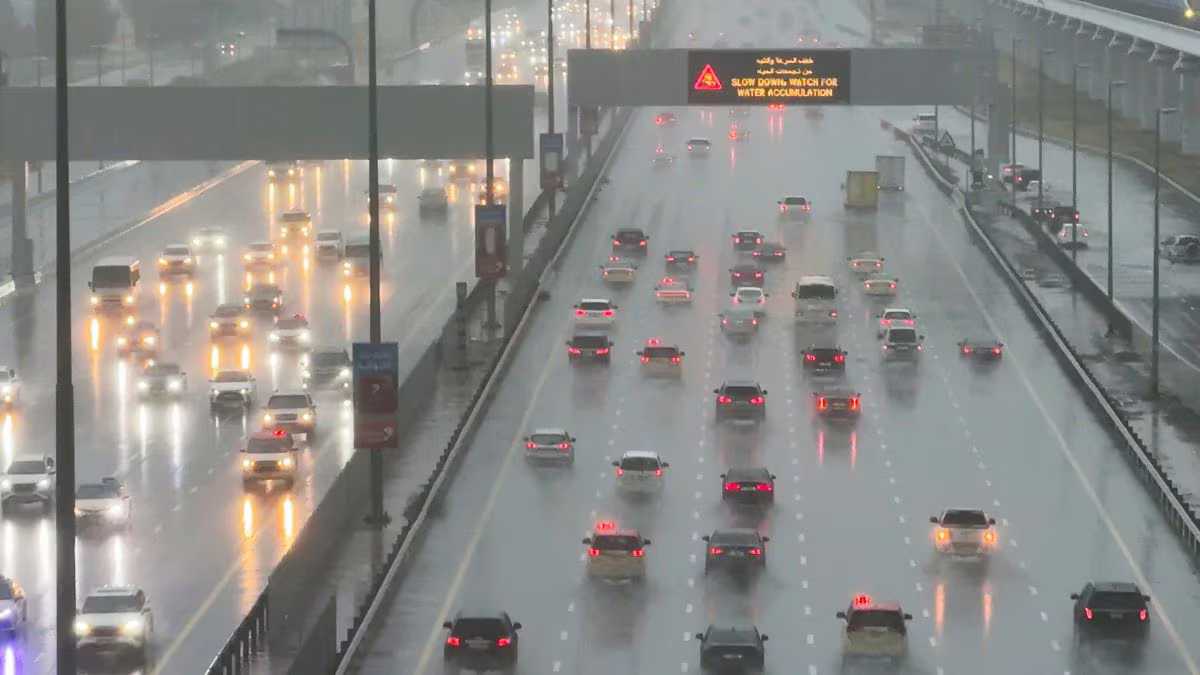
In the wake of Dubai’s recent catastrophic weather event, residents and onlookers alike are left grappling with the aftermath and questioning the cause of such unprecedented conditions in a typically arid desert region. As Dubai recovers from what has been deemed the worst storm in the history of the United Arab Emirates (UAE), speculation and misinformation have been rife. However, delving into the meteorological intricacies reveals a fascinating and complex narrative behind the deluge that inundated the city.
Dispelling Misconceptions
One prevailing misconception that has circulated in the aftermath of the storm is the attribution of the extreme weather event to cloud seeding operations. The UAE is known to regularly conduct cloud seeding missions in an effort to augment rainfall in its parched landscapes. However, it is crucial to note that during severe weather conditions, such operations are not undertaken.
Contrary to widespread rumors, the National Centre for Meteorology (NCM) confirmed that no cloud seeding pilots were dispatched at the height of the storm. Cloud seeding, as a weather modification technique, is only effective when clouds are in their nascent stages. In the throes of a severe thunderstorm, such interventions prove futile. Despite reports of seeding activities preceding the storm, the NCM maintains that these were merely sampling missions, with no cloud seeding efforts initiated.

Unraveling the Meteorological Dynamics
So, if not cloud seeding, what catalyzed the tumultuous weather phenomenon that besieged Dubai? The answer lies in a convergence of atmospheric conditions exacerbated by the specter of climate change. Weather experts attribute the storm’s genesis to a combination of factors, including a low-pressure system aloft and corresponding low pressure at the surface.
Esraa Alnaqbi, a senior forecaster at the NCM, elucidates that the juxtaposition of high temperatures at ground level with cooler air masses aloft engendered a pressure differential akin to a pressure “squeeze.” These conditions, compounded by strong winds, set the stage for the ensuing thunderstorm.
The Role of Supercell Clouds
Observant residents may have noticed the ominous presence of dark, foreboding clouds preceding the storm. These clouds, identified as supercell clouds by UAE BARQ, are harbingers of intense weather phenomena. Characterized by their rotating, cylindrical forms and dark hues, supercells manifest under specific atmospheric conditions conducive to rapid condensation and freezing of water droplets.
Typically associated with tropical climates proximate to oceans, supercell clouds are a rare sight in desert regions such as the UAE. However, the convergence of low-pressure systems in the region can precipitate their formation, heralding the onset of torrential rainfall. The unique dynamics of supercell clouds, wherein warm air ascends above colder air masses, facilitate the rapid growth and aggregation of water droplets, culminating in the ominous tempest that engulfed Dubai.
Conclusion
As Dubai embarks on the arduous path to recovery in the wake of the unprecedented storm, it is imperative to demystify the underlying meteorological phenomena that precipitated this calamitous event. Dispelling misconceptions surrounding cloud seeding and elucidating the role of supercell clouds in amplifying the intensity of the storm offers valuable insights into the dynamic interplay of atmospheric forces.
While the aftermath of the storm may linger in the collective consciousness, understanding the intricate mechanisms governing extreme weather events serves as a testament to humanity’s ongoing quest to comprehend and mitigate the impacts of nature’s formidable forces.


